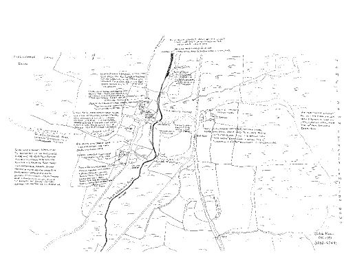
Map of Challacombe
This map shows Challacombe as it was during the 19th century and the heyday of mining in the Manaton area. It is based on observations made by W.G. Hambley of Moretonhampstead who had farmed at Challacombe from 1912-1970.

SX 7538 8057