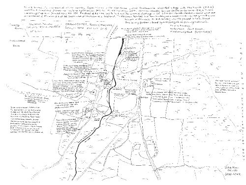
Map of Challacombe in the 19th century
Map of Challacombe in the 19th century based on work by W.G. Hambley of Moretonhampstead, who farmed there with his father from 1912-1970. The map reflects a mining boom and a local population of at least 60.

SX 6931 7827