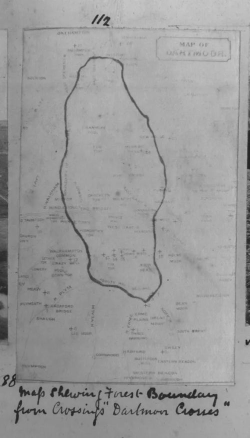
Map of Forest Boundary
Burnard's caption for this photograph was "Map showing Forest Boundary from Crossing's 'Dartmoor Crosses' ". This book reference appears to refer to Crossing's earlier publication entitled 'Old Crosses of the Moorlands' as the map is not included in Crossing's book entitled 'The Ancient Stone Crosses of Dartmoor and its Borderland' published in 1902. In the medieval period a forest was not an extensive wood but was an area of land set apart as a hunting ground for the king. The hunting ground could include open ground and sometimes villages. The forest boundary shown on the map is probably the area walked in the perambulation of 1240 (see links below).

SX 5804 7630