Harrod Collection
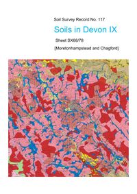
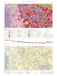
This striking soil map, with its accompanying report, provides a major
contribution by citizen science to the understanding of Dartmoor’s landscape, its environment, ecology and land use. 2014 saw the Dartmoor Society present the
survey’s author with its Annual Award for ‘his indefatigable survey of Dartmoor soils’. In 1968 the Soil Survey of England and Wales began a systematic soil mapping programme, sampling representative Ordnance Survey 1:25,000 scale sheets in the country’s main natural regions. Of the scheduled surveys in Devon and Cornwall, only that for Dartmoor, described in this survey, remained to be done when this mapping programme was abandoned in 1987. 20 years later the author began making up this shortfall as a pro bono publico retirement project.
He spent around 500 days on field work, with a similar amount on the preparation of the explanatory Record. Final publication of the map and account were thanks to sponsorship by the organisations and individuals acknowledged in the text and on the map. Tim Harrod 2 results Page 1 of 1

